


Construction Survey
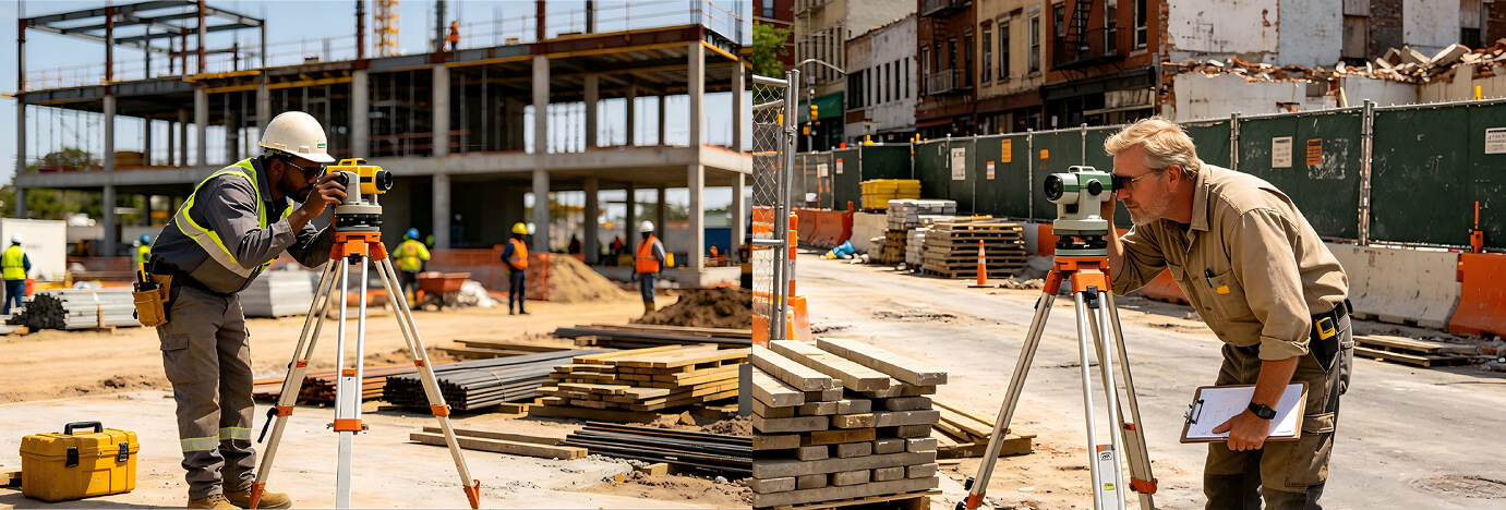
In traditional engineering construction, topographic mapping, and construction layout, the operation teams often encounter the following core challenges:
Efficiency bottleneck
Traditional optical instruments are cumbersome to operate (requiring repeated centering and leveling), manual data recording is prone to errors, and the internal processing is extremely time-consuming.
Environmental constraints
In conditions with poor visibility (such as dense forests), without network signals (in deep mountainous mining areas), or in adverse weather (such as heavy rain and sandstorms), the equipment cannot function properly.
Precision anxiety
With the increase of super high-rise buildings and precision engineering, even a millimeter-level error can lead to rework, and the long-term stability of the instrument is extremely demanding.
Personnel dependence
The training period for experienced surveyors is long, and it is difficult for newcomers to master it. Over-reliance on personal experience results in unstable data quality.
Equipment used in the industry
To address the aforementioned issues, we offer a comprehensive hardware matrix solution:

RTK receiver
Solves the problems of large-scale and high-precision coordinate acquisition and layout.

Total Station
Solves the problems of angle and distance measurement as well as three-dimensional modeling in complex terrains.

Leveling Instrument
Solves the problems of precise vertical measurement such as elevation control and settlement observation.

Vertical Alignment Instrument
Solves the problems of vertical transmission of building axes and calibration of elevator shafts.
These devices have addressed what problems in this industry?
To address the aforementioned issues, we offer a comprehensive hardware matrix solution:
| Device type | The problem that has been solved | Value proposition |
| RTK | Solve the problems of "slow" and "far". | Centimeter-level positioning + no calibration required: Without the need for line-of-sight between points, a single person and a single machine can complete topographic measurements within several kilometers, with efficiency increased by more than 5 times. |
| total station | solve the problems of "complex" and "precise". | Integrated data acquisition: Automatic target recognition and tracking, directly generating digital maps, seamlessly connecting field measurement with internal mapping. |
| leveling instrument | solve the problem of "stable". | Precise height transmission: By employing magnetic damping compensation technology, it ensures that the readings remain accurate even under slight vibrations, thereby guaranteeing the absolute safety of dams and bridges. |
| verticality instrument | solve the problem of "direct". | Laser vertical projection: Precisely project the ground control points to a height of hundreds of meters, eliminating cumulative errors and ensuring that skyscrapers stand "straight up and down" without any tilt. |
Construction process
To address the aforementioned issues, we offer a comprehensive hardware matrix solution:
Control network layout
Establish the primary control network using RTK or total station to determine the reference points.
Detail layout
Based on the coordinate data in the drawings, use total station/RTK to mark the pile positions and axis lines on the ground.
Process monitoring
During the construction process, use level instruments to monitor the changes in elevation, and use plumb bobs to monitor the verticality.
Completion survey
After the project is completed, collect all the actual measurement data, compare it with the design values, and generate the completion drawing.
Data archiving
Back up all the original data and upload them to the cloud or transfer them to the client.
Success Case
Control and Measurement Technology Instruments: The Lifeline of Project Quality
In the construction of the undersea tunnel of the Hong Kong-Zhuhai-Macao Bridge, the application of laser plumbors demonstrated the precise control of modern measurement and control technologies over project quality. From leveling of high-speed rail tracks to monitoring of oil and gas pipelines, precise instruments have become the key support for ensuring the safety of the project.
Efficiency bottleneck
The 2024 edition of the "Precision Engineering Measurement Specifications" has added laser alignment and three-dimensional measurement technologies, enabling measurement accuracy to reach sub-millimeter levels. The Shandong Nuclear Power Plant adopted the μbase distance measuring instrument, reducing the installation error of pressure vessels from ±1.5mm to ±0.3mm.
The core technological breakthroughs include three dimensions:
1. Intelligent sensing: MEMS optical fiber sensors enable 0.01% micro-strain monitoring of bridges, and the STM32 system achieves sampling at a rate of 1,000 times per second.
2. Algorithm processing: The Halcon industrial vision system completes part classification in 0.8 seconds with an error rate of 0.03%.
3. System integration: The CRRC Group's 5G + AI platform increases the efficiency of rail weld seam detection by 400%.

WE LOOK FORWARD TO WORKING WITH YOU.
We have been committed to providing high-precision measurement equipment and reliable measurement solutions for global construction, engineering, surveying, and land surveying projects.
Related Products


