
Industry Experience



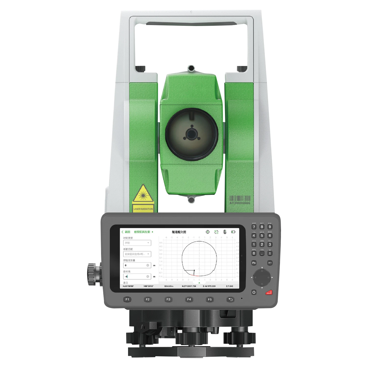
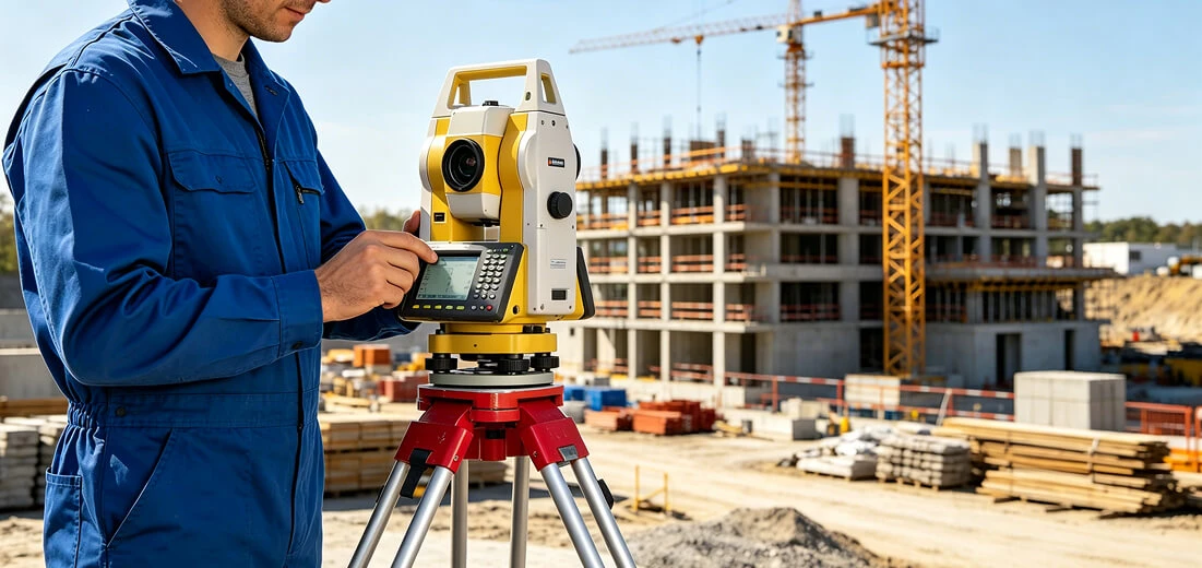
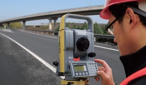
Total Station
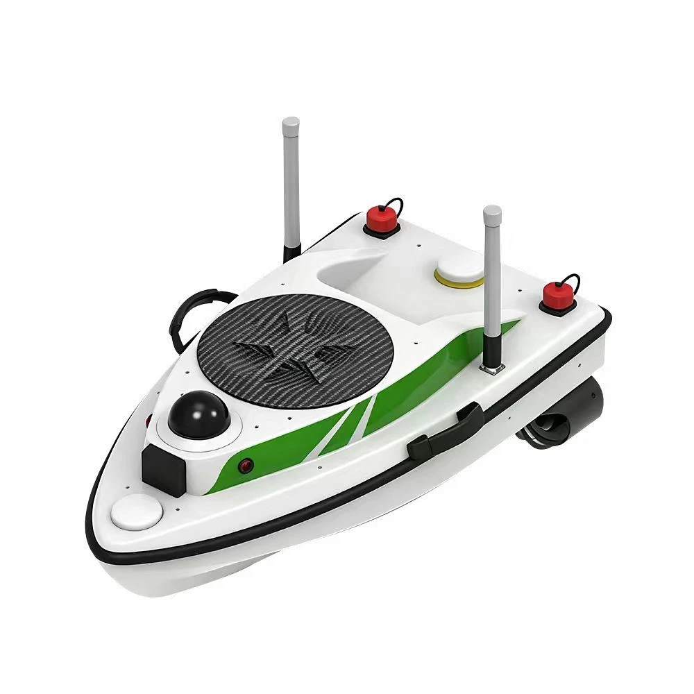
Alpha ME Lightweight USV Survey Boat
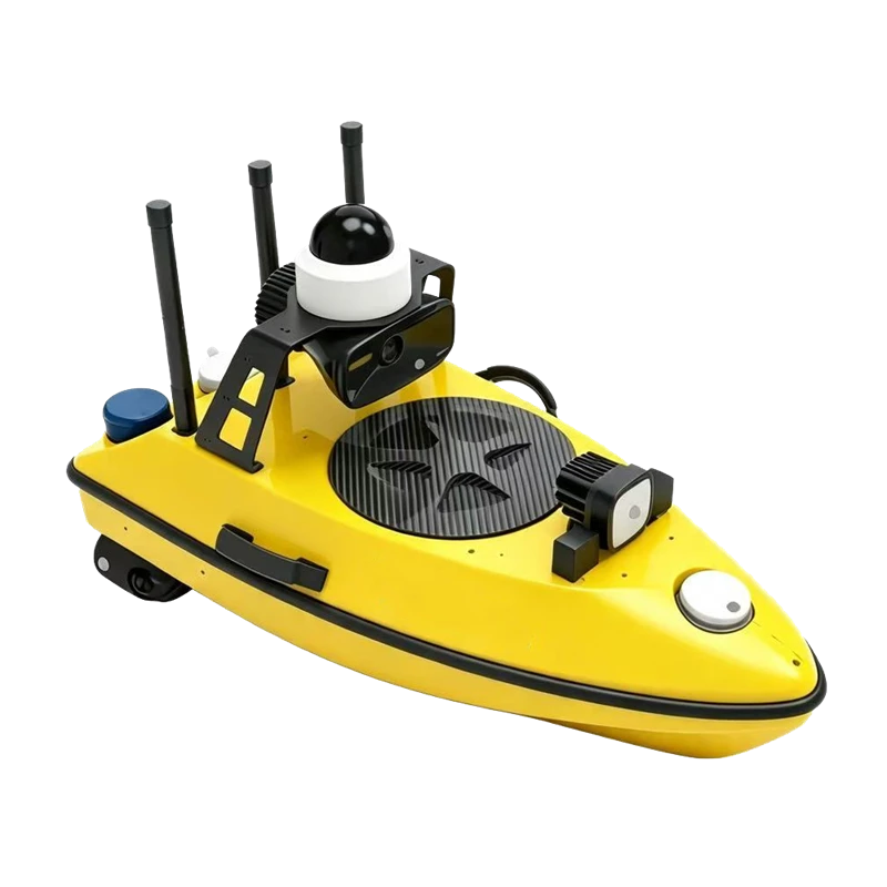
M3 Inspection & Survey USV
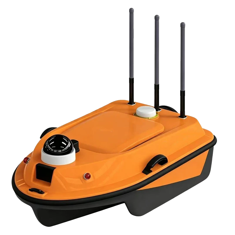
USV Survey Boats
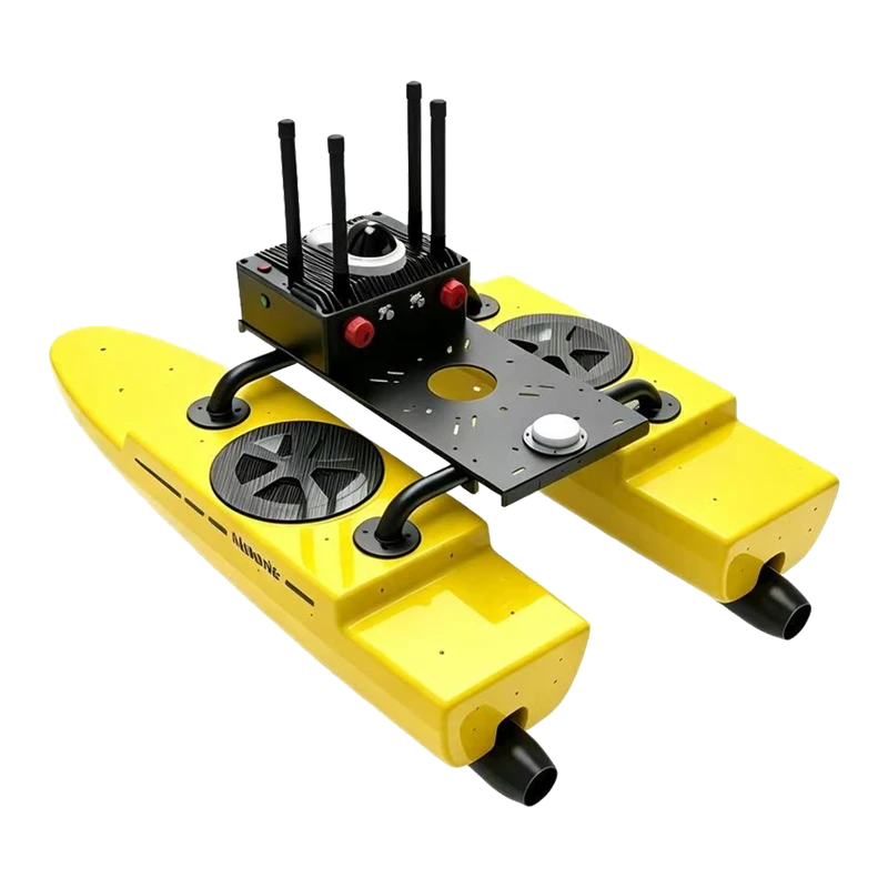
Alpha He Ark Catamaran USV
Product Overview
Product Overview
Product Overview
Product Overview
Product Overview
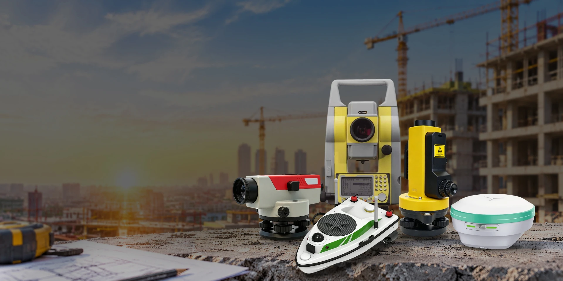
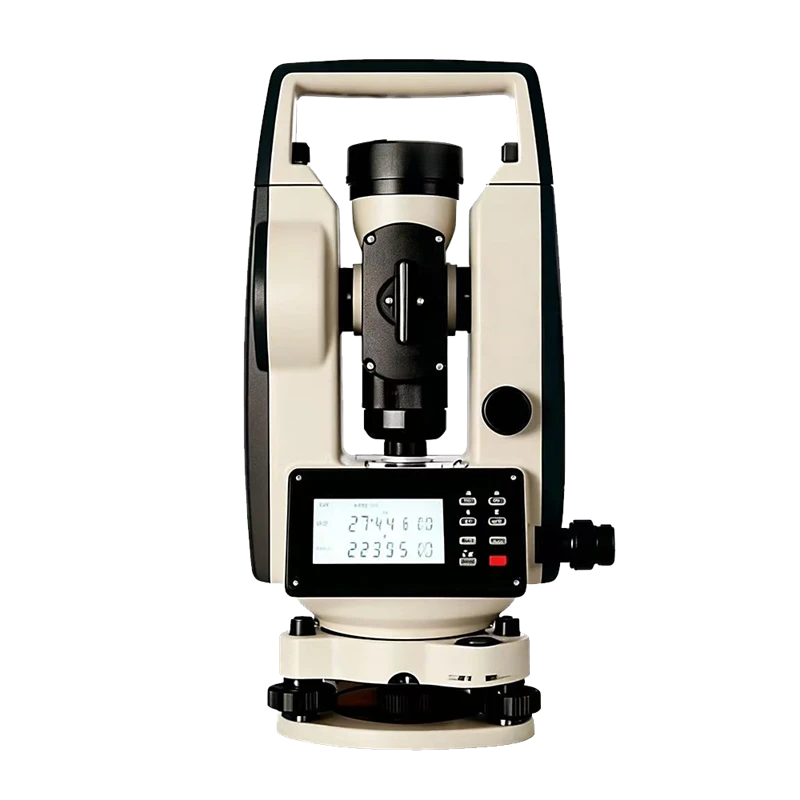
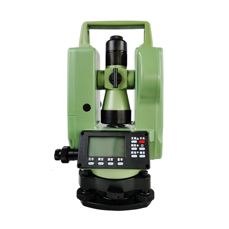
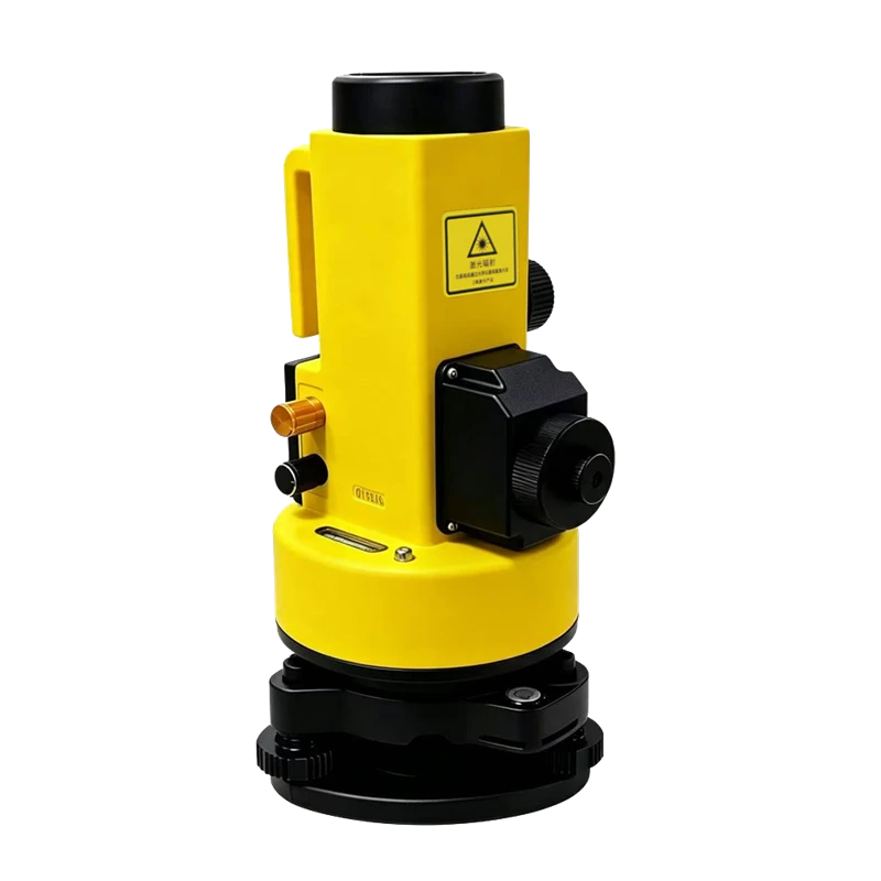
Xingtu Jingwei Geographic Information Co., Ltd. is a professional supplier of measuring instruments and geospatial equipment, specializing in total stations, GNSS RTK systems, automatic leveling instruments, theodolites, and 3D laser scanners.
Since 1996, we have been committed to providing high-precision measurement equipment and reliable measurement solutions for global construction, engineering, surveying, and land surveying projects.
30
+
year
Industry Experience
20000
+
Infrastructure Project
80
+
Product Category
3000
+
Overseas Users
WE LOOK FORWARD TO WORKING WITH YOU.
We have been committed to providing high-precision measurement equipment and reliable measurement solutions for global construction, engineering, surveying, and land surveying projects.
Aug. 17, 2026
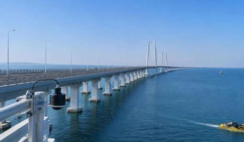
Long sea-crossing distance: 6.7km sea surface, extremely strong water vapor refraction, requiring sea-crossing leveling accuracy < 1mm/km.
Aug. 10, 2026
Authoritative Sources: National Surveying and Mapping Instrument Quality Inspection Center, China Surveying and Mapping Society, Nanfang Surveying and Mapping Official Website, Suzhou Yiguang Official Website
Video Center

Review from our customers
This project involves the modular construction of a globally leading ultra-large offshore converter station. The components are large in size, and installation accuracy requirements are down to the millimeter level. Our total station was selected for the entire project. The equipment provides accurate and stable ranging, and measurement errors are controllable even under the temperature differences between the high-temperature workshop and the open-air storage yard. Prism-free long-distance measurement solves the problem of long-distance layout for large steel structures. The instrument is dustproof and moisture-proof, suitable for the humid conditions of shipyards. The entire system ensures the pre-positioning and assembly control of the 10,000-ton-class converter station modules. We will continue to procure this equipment from our supplier for subsequent Three Gorges wind power infrastructure projects.


Mila McSabbu
Engineer
Our leveling instruments are used for urban renewal projects, municipal road elevation measurements, and building foundation settlement monitoring. The instruments are robust and resistant to impacts on construction sites, and have excellent waterproof performance in rainy and muddy environments. The instruments come with English operating instructions, allowing local surveyors with no prior experience to quickly learn how to use them. The elevation readings are accurate and stable. The procurement cost of products with the same precision is only half that of imported instruments from Europe and the United States. Many other construction companies in the surrounding area have successively purchased the same leveling instruments from us.

Robert Fox
Engineer
As a secondary cooperative distributor of your brand in the Middle East, we mainly deal in a full range of surveying instruments (RTK, total station, level). Our supply is stable, our products have a low failure rate, and our end-user construction site customers have a high repurchase rate. The manufacturer provides us with all-English manuals, remote technical guidance, and local after-sales training. Our stores maintain a stable inventory and sales volume year-round, making it the core profit-generating product line in our stores.

Jenny Wilson
Engineer